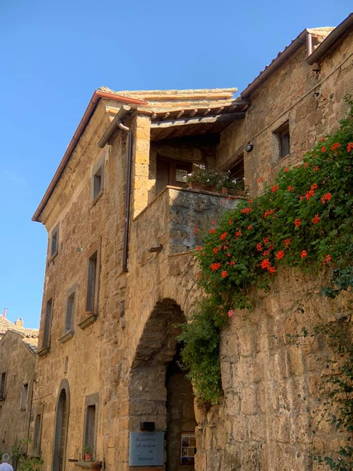
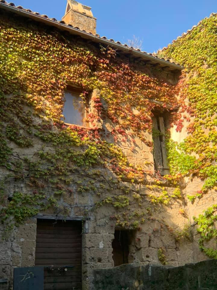
We piled onto our bus and headed to Civita di Bagnoregio (located about 75 miles north of Rome). This town is 2500 years old (a mind-boggling length of time to me!). Perched quite high on a volcanic tower, it’s connected to neighboring Bagnoregio by a l-o-n-g pedestrian bridge. Civita is located in Viterbo, a province in the central Italian region of Lazio. I had actually never heard of this town until we looked at the tour itinerary. But it was one of my favorite places to visit this trip.
Due to its location, Civita is also known as ‘The City in the Sky.’ It is also called La città che muore (The Dying Town). This refers to a steep decline in the number of residents as its population fell from a few hundred as people died or moved. Our guide Sarah said the current population of Civita is ten (or fewer) people. Most people that work there come up the long bridge from neighboring Bagnoregio via scooter or on foot (only residents or those who work there are permitted to use scooters on the bridge). Interestingly, Bagnoregio used to be a suburb of Civita but is now the main town. People migrated there after earthquakes rattled or destroyed several buildings in Civita.
After we exited our bus in Bagnoregio, Sarah led us on a 25-minute stroll through its picturesque streets to reach the bridge to Civita. There is a fee to use the bridge (to defray costs of tourists tromping through and to provide needed revenue to Bagnoregio). Most of our group walked up the long uphill bridge/ramp (which was quite steep in spots). It took Wiliam about 15 minutes to navigate the ramp, but it was more like 20 minutes for me with my new titanium hip. Our rewards were some amazing views, an opportunity to walk through an old Medieval town, and to sample ricotta gelato (courtesy of Sarah) at L’arco del Gusto. Wow, was that gelato good! It is not as creamy as other gelato we've sampled but it had an amazing flavor!
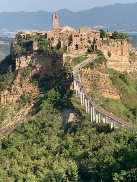
Civita and its long pedestrian bridge.
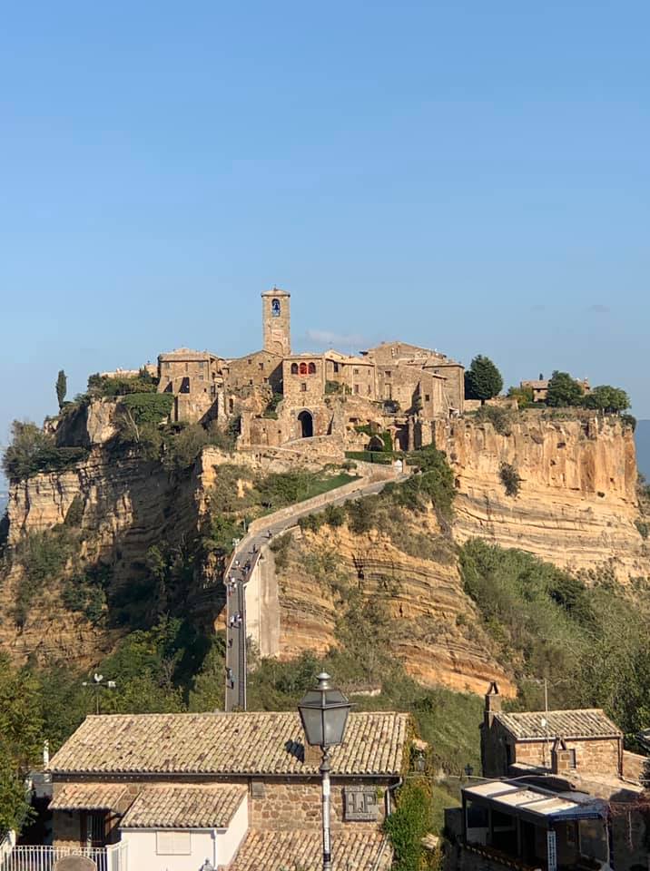
A view of Civita and its pedestrian bridge from its neighbor, Bagnoregio.
|

Almost to the top of the walkway! Quite the climb!
|
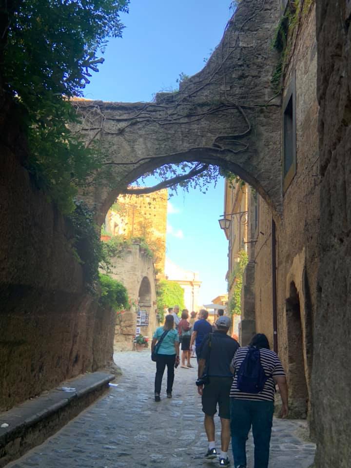
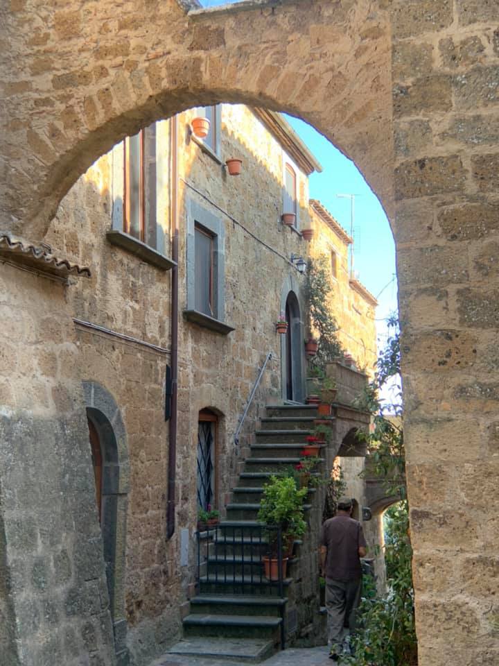
Entering Civita via a 12th Century arch (Porta Santa Maria).
|
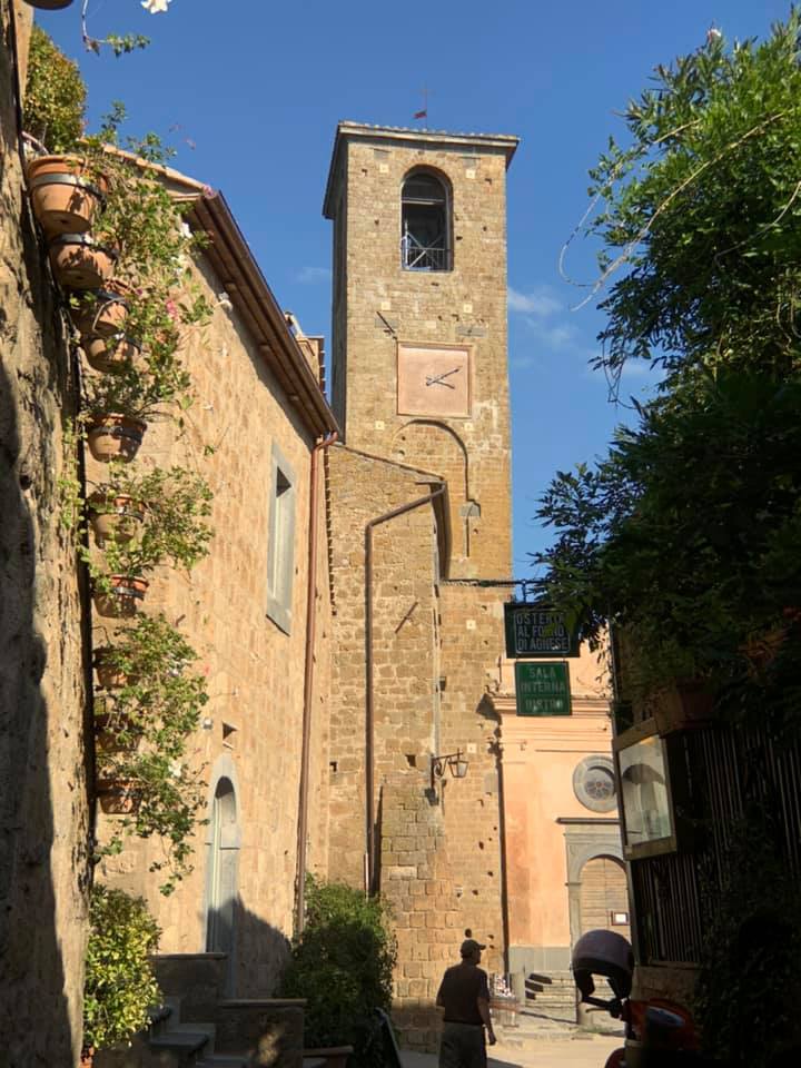
The clock tower in the center of town
|
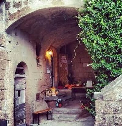
The entrance to L’arco del Gusto
|
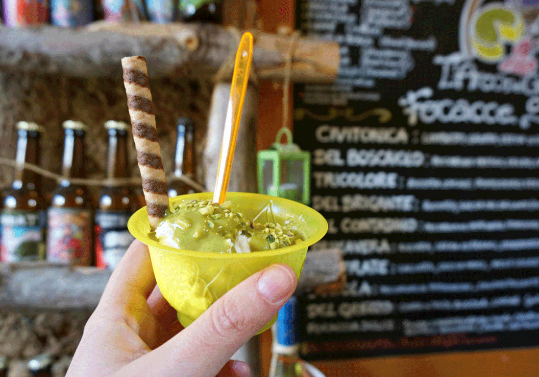
L'Arco del Gusto's ricotta gelato. Another group member let me take a photo of her selection.
|
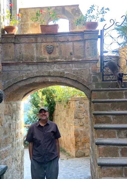
Note the photobomber in the upper right!
Civita (City) was founded by Etruscans more than 2500 years ago. At the main entrance to the town is a huge stone passageway cut by the Etruscans, now framed by a 12th Century arch. Other signs of Etruscan settlement include the necropolis they created in the rock beneath the town, as well as Etruscan tombs located beneath the Belvedere of San Francesco Vecchio. Civita was the birthplace of St. Bonaventure (1217-1274). Apparently, Bonaventure's boyhood house long ago fell off the cliff. More recently, a series of landslides in 2014 and 2015 resulted in some medieval buildings also tumbling into the surrounding ravine when the sides of the volcanic outcrop collapsed.
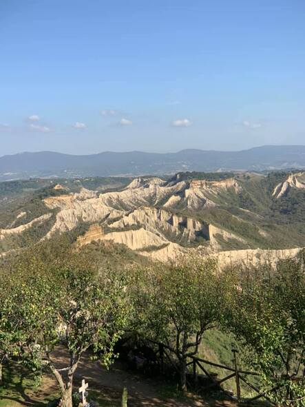
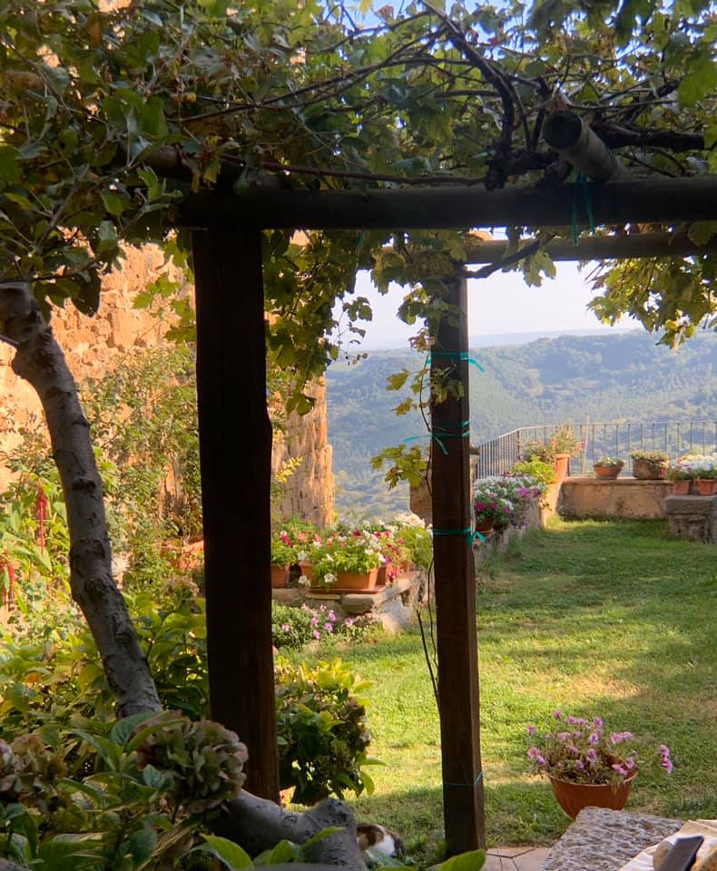
The “badlands” as viewed from Civita. This whole area is volcanic in origin. The hills are made of tuff, a type of rock made of volcanic ash ejected from a vent during a volcanic eruption. The ash was compacted into a solid through consolidation. The top layer is clay. It can hydrate and then thin layers may slowly slide down hills. But hydrated thick layers can landslide down, creating these hills without vegetation.
|
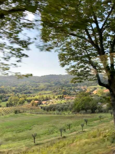
A photo from the bus of the countryside of the Italian region of Lazio.
|
Click the village to visit Chianciano Terme
